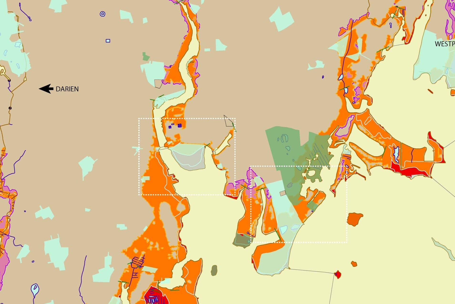
Site analysis for Norwalk, CT
This project was executed with J. Dong and L. Valenzuela in the Yale CEID course Ecological Urban Design, which welcomed undergraduate engineering students, students from the School of Architecture, and students from the School of the Environment. Created in 2018 using Adobe Illustrator, ArcGIS, and FEMA flood map data.
This site analysis focuses on publicly owned areas of the Norwalk River Watershed at risk of flooding. In investigating the particular risks in Norwalk public land, we explore potential strategies for redistribution or preservation that ensure community safety from flooding while maintaining access and enjoy their public space. We chose to look at open public space, because it is available to a diverse range of community members, across socioeconomic status, gender, race, and age. It is also an important zone to investigate because of its social value and precarious location in the flood zones.
By focusing on the various recreational public open spaces of the Norwalk watershed threatened by flooding, we can start to look at alternative open spaces that people in the region may visit instead. The distances locals must travel to these secondary spaces is used to inform the development of transit, a core element of the HUD National Disaster Resilience plan. We chose to focus on recreation areas because it is necessary to understand the community resources that will be lost in order to plan for the type of resources that should be built in the future. An example of a decision that our maps could help with, for example, would be whether to build new recreational areas and commercial centers in Norwalk, or increase the amount and quality of transit to other areas that have those resources.


