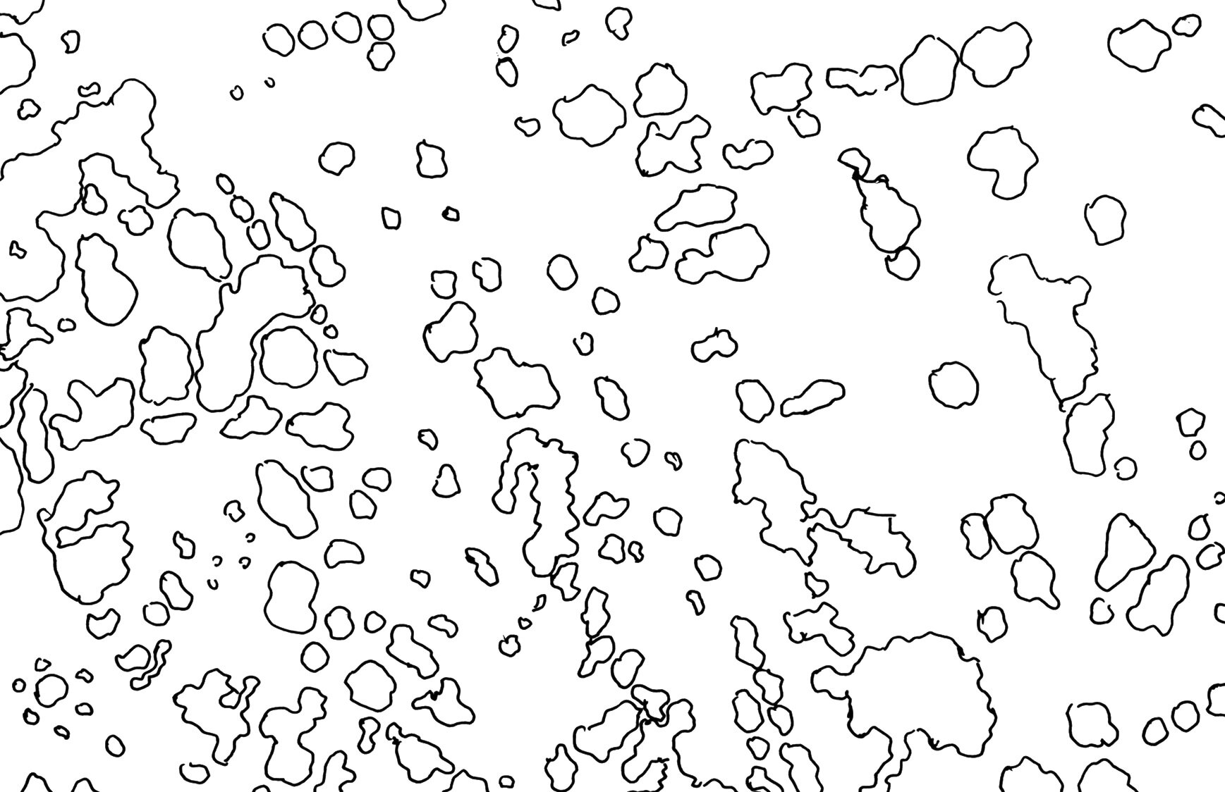
New Haven Transects
Coding the landscape in black and white, what would it look like in plan?
This series of drawings was completed in the Yale undergraduate course Urban Lab: City Making in 2018.
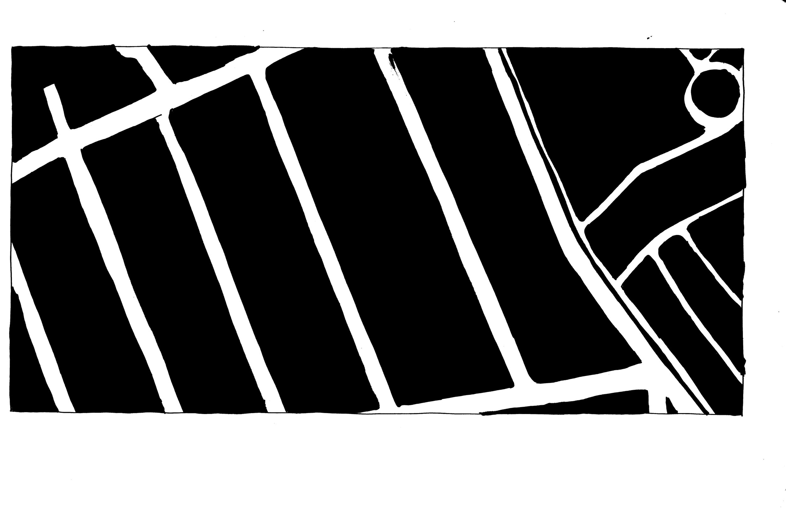
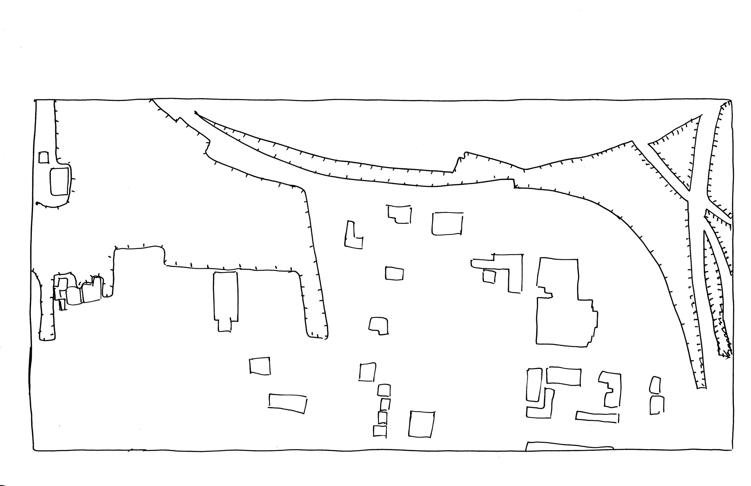
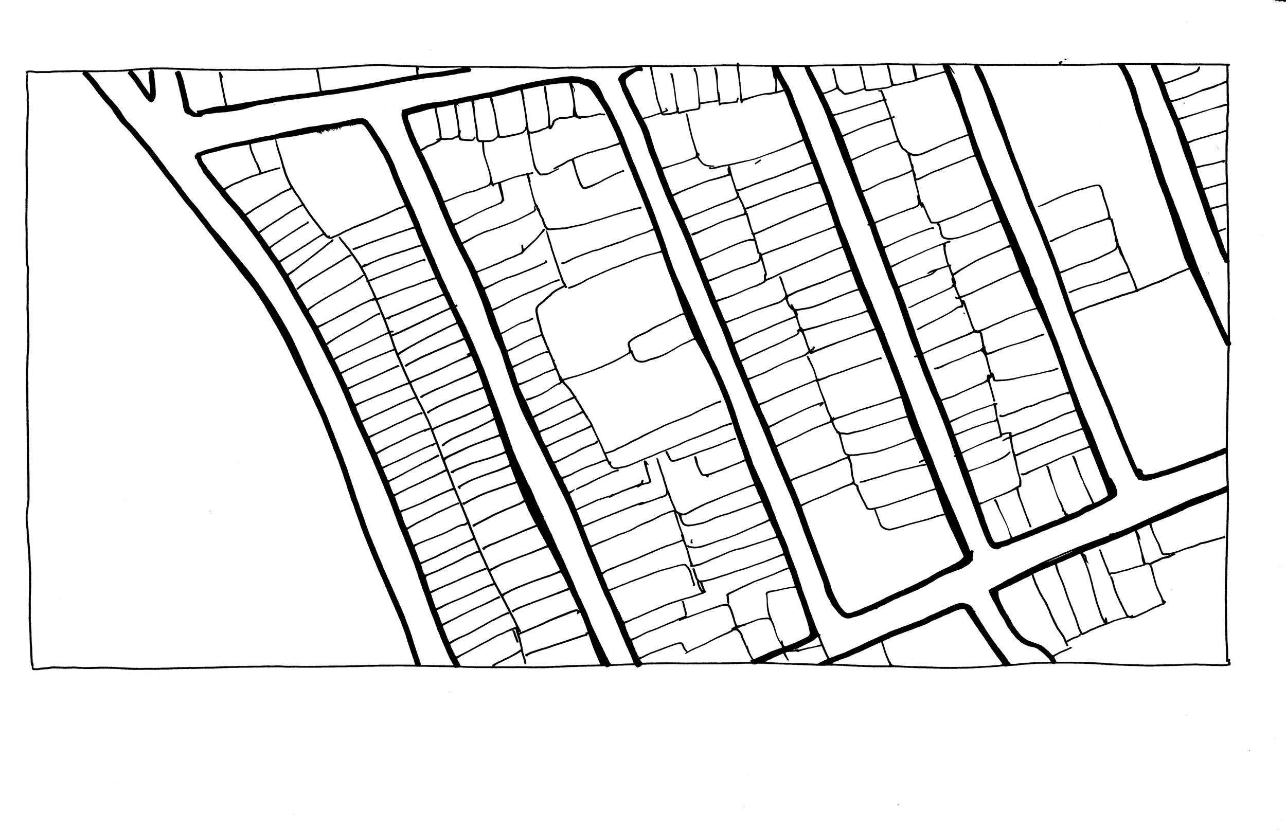
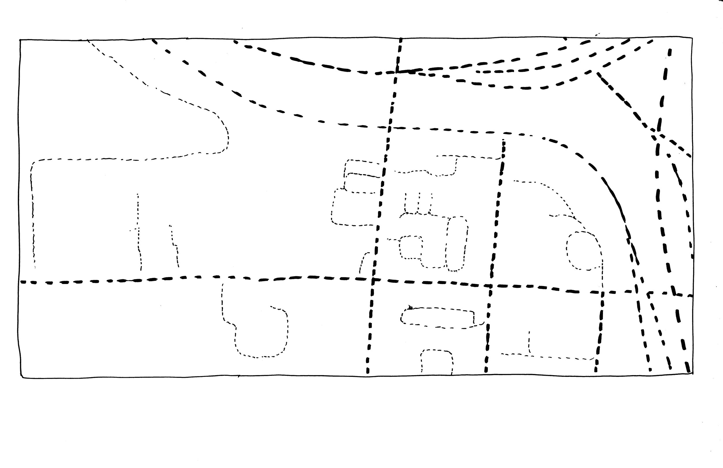
Using figure-ground representation and line-work, how can a swath of land be represented in plan (birds’ eye view)? Taking cues from the Nolli map of Rome, these drawings depict black and white spaces to portray public space in terms of open air, property ownership, pedestrian accessibility, etc. The line maps depict boundaries between properties, zones, and even vegetation. Though they are based on satellite images, these drawings are simple methods of representing the urban landscape through different frameworks, priorities, and biases.


